SeaFI in a nutshell
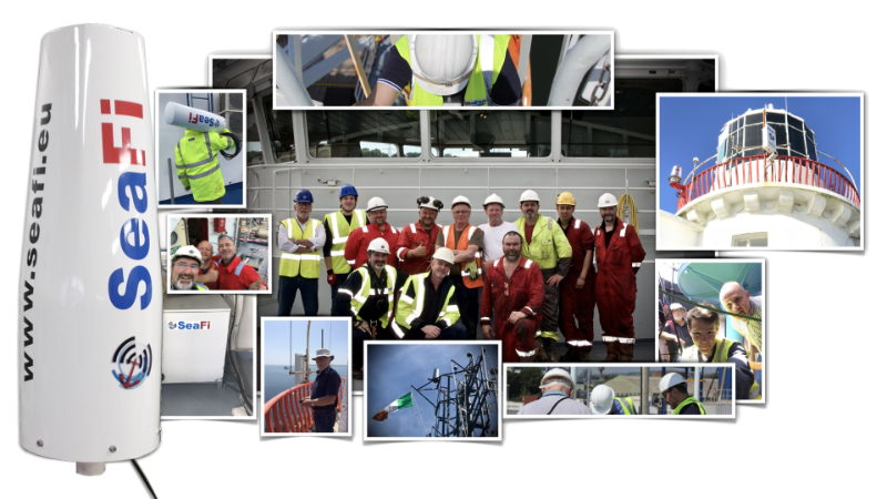
SEAFI is a self-funded scientific research project led by former Sr. Research Engineer Arnaud Disant (NMCI, UCD, ENS), which began over a decade ago at the National Maritime College of Ireland in 2012. A group of maritime professionals and students explored an alternative to traditional maritime data communications.
The concept of Wireless Maritime Area Network was developed in Cork Harbour from 2013 onwards as part of an EU-funded research project primarily benefiting the Port of Cork. Several prototypes were tested at Rochespoint Lighthouse from 2013 to 2019, where a SCIENTIFIC WORLD RECORD FOR THE LONGEST WIRELESS INTERNET COMMUNICATION AT SEA was achieved on June 6, 2018, covering 19.4 nautical miles (35.92 km) by Arnaud Disant and the crew of the Offshore Supply Vessel Ocean Spey owned by Mainport.

Reasons for the Project:
SeaFi offers a new alternative to the existing methods of communication at sea, namely satellite and cellular systems like 3G. It introduces a third option to establish private networks in ports and coastal regions by connecting lighthouses, maritime wind turbines, offshore drilling platforms, and vessels at sea. The term coined for this network is Wireless Maritime Area Network (WMAN), allowing connectivity for ships, crews, and data collection buoys (e.g., for weather and tides).

Usage and Application:
The application of SeaFi is wide-ranging, catering to maritime professionals, scientists, fishermen, coastal security personnel, and individuals involved in protecting marine ecosystems. It enhances family connections for those working at sea for extended periods and significantly boosts business efficiency while lowering communication costs.

Comparison with 3G, 4G :
The limitations of using 3G and 4G networks at sea, primarily designed for terrestrial coverage, make them unreliable in maritime environments. Similarly, while satellite communication is available, it faces challenges in meeting increasing data demands and contention rates. SeaFi provides a solution to enhance marine data communication by utilising advanced technology that complements existing satellite systems.
Comparison with Satellite Communication :
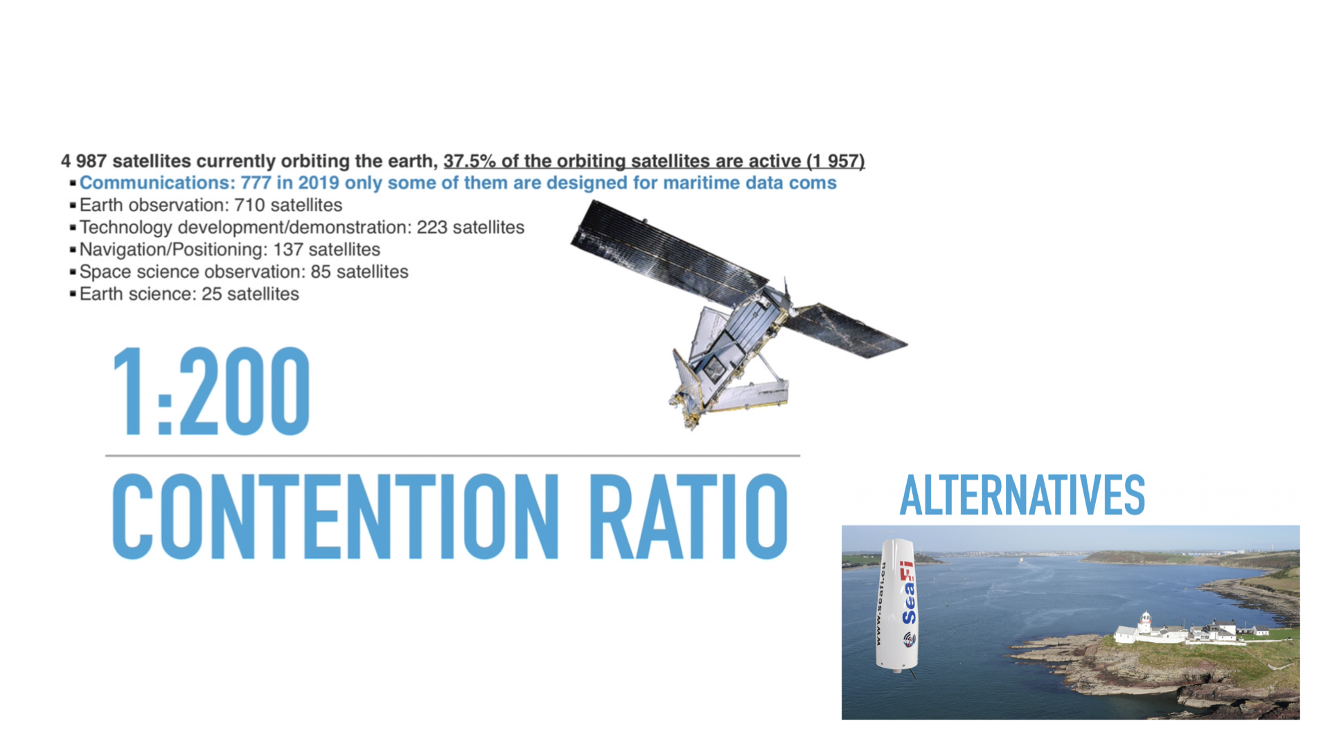
On the technical side, Iridium satellites operate as a WiFi system with the access point (the satellite) positioned 700 kilometers away from the vessels (the stations). Established in the late 1990s, the Iridium satellite network was designed to support significant call volumes, with the last satellite constructed in 2002 capable of handling 1100 concurrent telephone calls. However, as data usage has surged over the years, particularly with the shift from basic phone calls to data-intensive tasks like email with photo attachments, the demand on these satellites has increased exponentially. Consequently, the existing Iridium network, initially planned for 1100 concurrent calls, now grapples with a contention rate estimated at 400:1 for data, highlighting the strain on the system to keep pace with modern communication requirements.

In contrast, newer satellite constellations like SpaceX's Starlink, intended to create extensive global internet coverage, illustrate a paradigm shift towards more expansive networks to meet the escalating demand for connectivity. Starlink's ambitious project outlines the deployment of thousands of smaller satellites, signaling a substantial investment in creating a robust communication infrastructure to cater to the demands of the interconnected world, including the Internet of Things (IoT).
The challenges faced by the Iridium satellite network in scaling to meet contemporary communication needs are indicative of broader industry trends. As modern technology propels us into an era of ubiquitous connectivity, the collaboration of diverse technologies, such as satellites and emerging solutions like SeaFi, becomes increasingly critical in alleviating congestion and enhancing data communication, especially in maritime contexts.
An alternative approach:
Introducing SeaFi - an innovative replacement solution designed to revolutionise maritime communication while leveraging the unique infrastructure of lighthouses. In addition to offering a cost-effective alternative with minimal installation and operating expenses, SeaFi enhances its appeal by delivering superior or equivalent services compared to traditional systems. This cutting-edge solution not only boasts localised and long-lasting capabilities but also breathes new life into lighthouses that have witnessed a decline in relevance due to advancements in navigation technology such as GPS and electronic maps.
By repurposing lighthouses from their conventional role as navigational aids to data hubs, SeaFi presents a sustainable and forward-thinking approach that preserves these iconic maritime structures from falling into disuse. There are approximately 18,600 lighthouses globally, representing vast untapped potential as SeaFi relay stations. With each fixed connection point capable of covering an area of around 2,500 square kilometres, the cumulative coverage of these lighthouses could extend to a staggering 45,000,000 square kilometres along coastal regions worldwide. This strategic utilisation of existing infrastructure not only revitalises historical landmarks but also significantly offloads the burden on satellite systems by efficiently extending connectivity to vast maritime areas, ensuring reliable communication and navigation services for the maritime community.
.
